About Marine Navigator
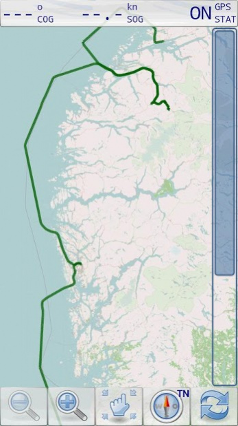
Marine Navigator is an offline navigator using raster navigational charts (RNC's) to plot your position in real time. This way you can navigate with true copies of official paper charts on your mobile device. This full...
Marine Navigator is an offline navigator using raster navigational charts (RNC's) to plot your position in real time. This way you can navigate with true copies of official paper charts on your mobile device. This full version of the Marine Navigator provides besides the functionality of the lite version the following enhanced functions:
* automatic chart switching depending on current position and zoom level
* scrolling through all charts available for the current location by "press and hold" zoom buttons
* display of number of available charts for current location in the zoom buttons
* display of outlines of installed charts in active chart
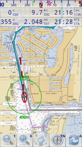
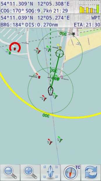
* chart rotation (True North, True Course, Compass Heading, original chart orientation)
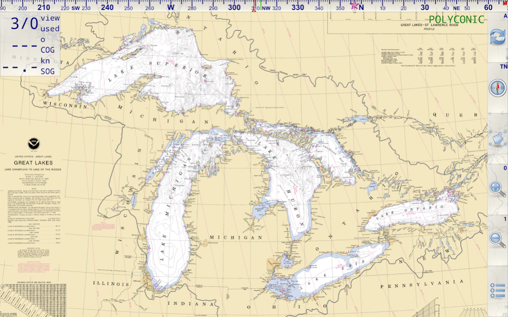
* support of non-mercator projections (Polyconic, Transverse Mercator, UTM, ...) by polynomials
* support of geodetic datum other than WGS84/NAD83 by applying northing and easting
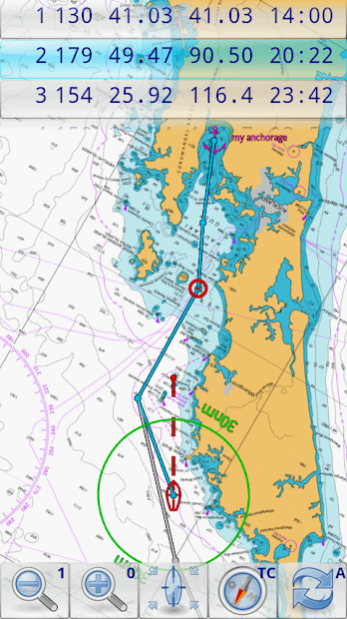
* tracks, way points, routes
* follow route automatically
* intuitive route editor
* gpx import and export of waypoints and routes
* gpx export of tracks
* recording of tracks in active and standby mode
* compass (magnetic heading, true heading, true north indicator)
* different dashboard layouts (basic data, detailed route data, detailed GPS data including graphical status info)
* Man Over Board (MOB) functions
* import and storage of installed charts in external folders
* support of encrypted charts including activation via EMAIL
* switching between chart sets (support of large number of installed charts)
* http://www.nauticalcharts.noaa.gov/mcd/Raster/index.htm (Suite of NOAA nautical charts that covers the coastal waters of the U.S. and its territories)
* http://www.mar.mil.br/dhn/chm/box-cartas-raster/raster_disponiveis.html (Suite of CHM nautical charts that covers the coastal waters of Brazil and its major rivers)
* http://www.linz.govt.nz/hydro/charts/digital-charts/nzmariner (NZMariner is the product name of New Zealand's Official RNC folio.)
* http://www.openseamap.org (Openseamap charts are based on Openstreetmap data enriched with additional nautical information. The charts cover selected european coastal waters).
Native Marine Navigator MNX-charts are offered by selected chart distributors. The charts are maintained by the distributor. They are not free. Further regions are coming):
* http://www.visitmyharbour.com/download-android-charts (Chart sets for UK/IRL, IBERIA, Belgium and Netherland)
* http://maps.soltek.se (Charts for Sweden and Finland)
Try before you buy: You can test the basic functions of Marine Navigator by downloading Marine Navigator Lite. If you like the app and are looking for a comprehensive set of navigational functions purchase this full version.
Previous Versions
Here you can find the changelog of Marine Navigator since it was posted on our website on 2019-10-25 23:50:55.
The latest version is 2.1.18 and it was updated on 2024-04-22 19:01:37. See below the changes in each version.
Marine Navigator version 2.1.18
Updated At: 2020-05-24
Changes: * support security enhancements of Android 9
* always show menu button
* AIS:
** support of aid-to-navigation reports
** extended collision detection
** audible AIS collision alerts
** suppress of reports of own vessel
** additional info about selected ais target (distance, bearing, MMSI)
*fixes:
** incomplete import of certain KAP charts (Antares)
** chart activation error
** wrong position in split-screen mode
** erroneous AIS demo detection
** false AIS collision alerts
Marine Navigator version 2.1.17
Updated At: 2018-04-02
Changes: 2.1.17 Maintenance Release
* fixing chart set activation via email for devices running Android 8 and higher
* introducing notification channels required by Android 8.1
* fixing animation handling if user disables animation in developer options
* various minor bug fixes
2.1.16
* AIS available as in-app-billing feature
* support of AIS class B receiver (report type 18, 19 and 24)
Disclaimer
Official Google Play Link
We do not host Marine Navigator on our servers. We did not scan it for viruses, adware, spyware or other type of malware. This app is hosted by Google and passed their terms and conditions to be listed there. We recommend caution when installing it.
The Google Play link for Marine Navigator is provided to you by apps112.com without any warranties, representations or guarantees of any kind, so access it at your own risk.
If you have questions regarding this particular app contact the publisher directly. For questions about the functionalities of apps112.com contact us.